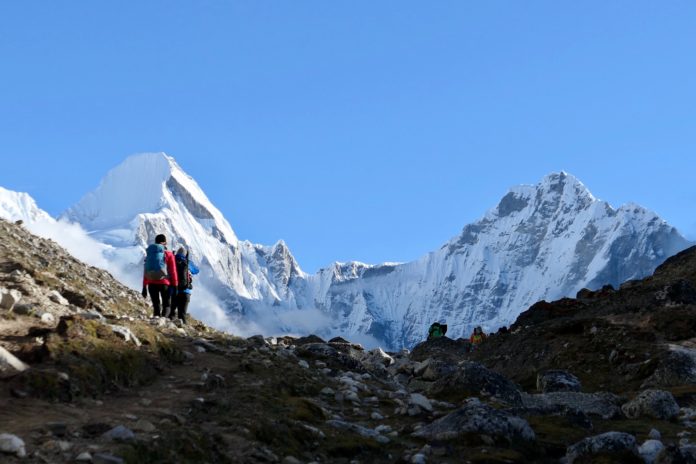
As the final month of autumn approaches and many of us are trapped at home due to the ongoing global health crisis, you might find yourself dreaming about an escape to a snowy, winter wonderland.
Fortunately, with the help of Google Maps’ Street View Trek of Everest Base Camp, you can do so from home!
Mt. Everest, straddled between Nepal and Tibet and the world’s highest mountain at 29,029 feet, is a place that few visit but many dream of.
The extreme altitude of the mountain means that only experienced climbers can reach its summit, and the thin air and complicated logistics of travel there make it hard to even reach the area around it.
The base camp for climbers who are looking to summit the mountain, located at nearly 20,000 feet above sea level, can now be explored on Google Maps after climbers reached this magical place on foot with camera equipment in tow.
Marvel at the astoundingly large peaks and the ice and snow formations that you will find on this virtual tour and get lost in the dream-like environment of the world’s highest peaks. After you reach the base camp, you’ll marvel at the spartan accommodations that climbers must use before attempting one of the world’s toughest feats.
While we may never get the chance to travel to this unbelievable place, this virtual tour is the perfect way to experience it while being trapped at home.


